I am in the process of putting together short histories on the American Indians that were indigenous to the area we now call Texas, as well as those who were forced to leave their home lands and resettled in this area. I hope to start adding these within a couple of weeks.
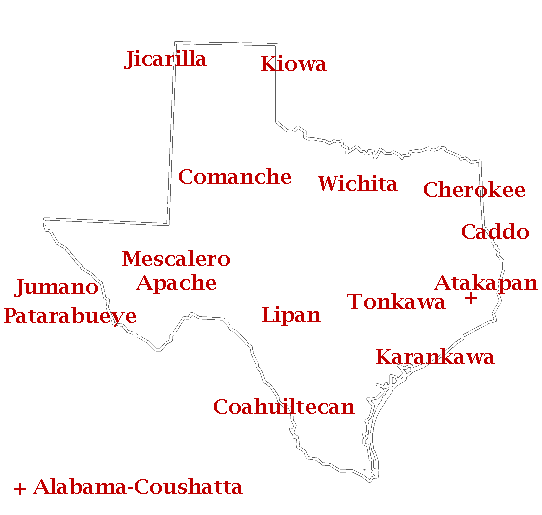
You can see approximately where these tribes are located on this map. Only the Cherokee, Tonkawa and part of the Comanche reports have been written thus far. Just click the tribe name to be taken to the appropriate page. For those of you that cannot use interactive maps there are clickable links farther down the page.
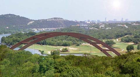
This is where I call home...Austin...from the Capitol of Texas Highway. The bridge is crossing the Colorado River that winds its way through Texas from northwest to southeast.
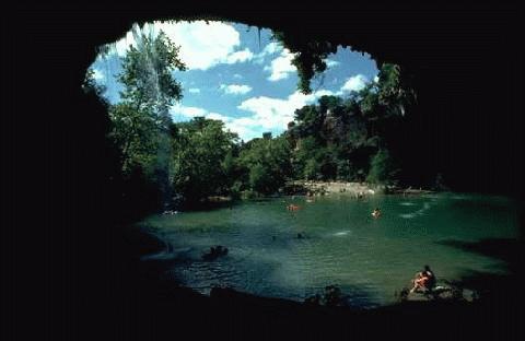
Hamilton Pool is one of the many spring fed pools in this area of Texas. I imagine the original inhabitants of this area enjoyed these pools as we do today.
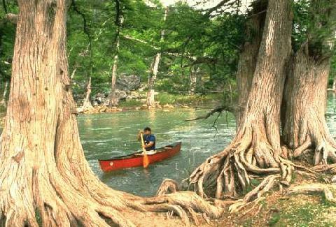
The Guadalupe River is a spring fed river that is just south of Austin. Even when the summers get H O T, 90-100 degrees, this river's water will cool anyone off with temperatures remaining in the 60s.
Well, this is what the area looks like today. The original inhabitants of this area, at least in the sixteenth century, were the Tonkawa. They called themselves the tickanwatic , or "the most human of people". This is where I will start.
Tonkawa | Coahuiltecan | Karankawa | Caddo | Patarabueye | Jumano | Atakapan | Wichita | Lipan | Apache | Comanche | Kiowa | Cherokee | Alabama-Coushatta

Love Songs Of The Lakota - Performed on Flute by Kevin Locke

My favorite Native American links...

|
|
