Our Honeymoon in Great Britain
Maps of the areas we visited
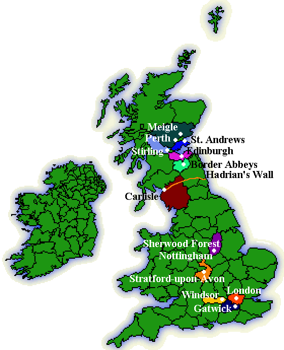
Map of the United Kingdom
The crosses represent places that we photographed.
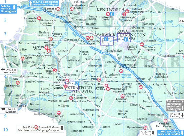
Shakespeare Country
This area included the Cotswolds, Oxford, Warwick, as well as Stratford-upon-Avon.
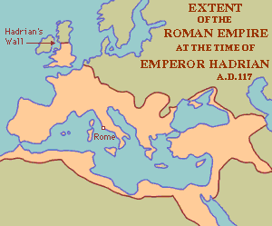
Roman Empire
The extent of the Roman Empire during the building of Hadrian's Walll.
Hadrian's Wall Area
Hadrian's Wall in relation to Carlisle and Lanercost Priory.
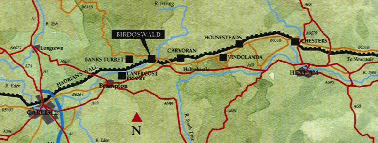
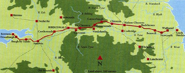
Map of Hadrian's Wall Forts
This map shows the numerous forts that were built along the wall. We photographed Birdoswald.
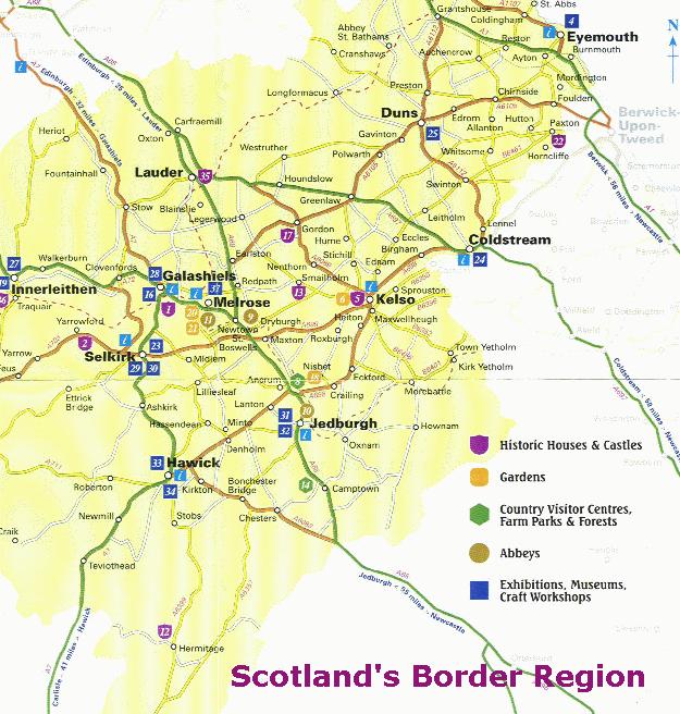
Map of the Scotish Border Region
The Abbeys we visited, Dryburgh, Melrose and Jedburgh (numbers 9, 10 and 11 on the map), were all located within the Border Region. In 1975 Scotland changed from using counties to regions. The Border Region is made up of the former counties of Berwickshire, Peebleshire, Selkirkshire and Roxburghshire.
Our Honeymoon | Days 1 to 3 | Day 4 | Day 5 | Day 6 | Day 7 to 8 | Maps | Paula's Playground